Center 101
2393 Črna na Koroškem
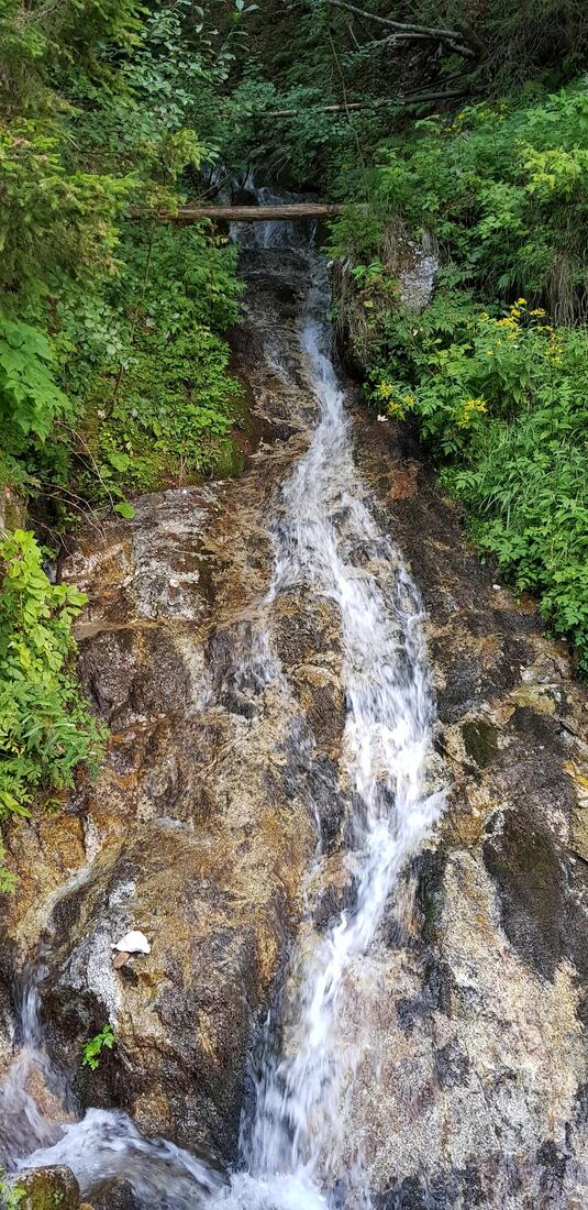
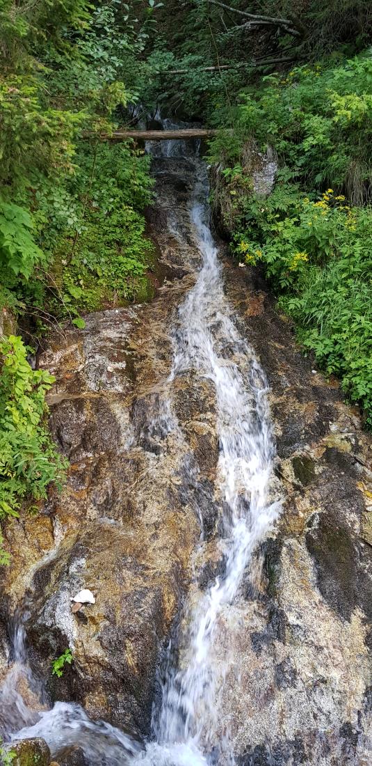
The Meža river originates at an elevation of 1,405 metres near Govša pasture, below Maroldič peak, on the Austrian sider of the border. As a small stream it flows past the abandoned Maroldič pasture and at several places disappears underground, re-emerging on the Slovenian side above the Kos farm. The area around its source represents a typical alpine landscape, where the river cuts into narrow ravines surrounded by forested slopes and characteristically rounded peaks. Along its course lie river terraces, rapids and pools, all of which testify to the power of water in shaping the environment and the natural landscape. In its upper section the river has a fairly fast current, which slows down in the middle and lower sections. A considerable part of the upper river basin, up to the confluence with the Topla stream, is included in the Natura 2000 network. The river has an indistinct alpine snow-rain regime and a distinctly torrential character. Life in the Mežiška Valley has long been closely connected with the Meža river and its tributaries, such as the Topla, Bistra, Helena and Javorje streams. In the past it provided the necessary power to drive sawmills and grain mills, and it also played an important role in the development of mining and ironworking. All major settlements developed close to the river as well, which in turn led to changes in the shape and course of Meža channel. Along its path the river flows past Žerjav, Mežica, Prevalje, and Ravne na Koroškem, before finally joining the Drava river at Dravograd as its right-hand tributary.